Jonang Sites Interactive Map
The following post is by Connor McCarty, an honors student at the University of Alabama and contributor to Jonang Foundation.[1]
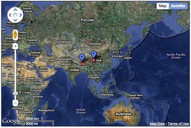
Working in collaboration with the University of Alabama, we at Jonang Foundation have developed an interactive satellite map of Jonang sites across Tibet. Providing precise geographic locations of key Jonang sites, this map allows users to navigate both historical and active Jonang monasteries, stupas, nunneries, meditation caves, and other relevant landmark sites like never before.
Viewers can now traverse the Tibetan plateau and see the migration and spatial presence of the Jonangpa with an unprecedented degree of accuracy. Each site is marked at its exact co-ordinal location, providing an invaluable resource to researchers and interested members of the community alike.
The map includes strikingly clear overhead images of the sites as well as beautiful views of the surrounding landscape. Site data is now at your fingertips; just click on a site and its information will be displayed. Each site entry is linked to both the Jonang Foundation and Tibetan Buddhist Resource Center databases.
This is only the beginning: as well as adding more sites to the map, we are in the process of developing increasingly advanced features to be incorporated into the Jonang sites map and database in the coming months. It is our aim to soon allow users to search for sites based on particular criteria and selectively display subsets of data. Be sure to check back for exciting updates.
Click to access the page and begin exploring! Please read the interactive map guide for detailed instructions on the map’s functionality and display of Unicode Tibetan text.
Endnotes:
1.This map was created by Connor McCarty working under the supervision of Dr. Amy Holmes-Tagchungdarpa at the University of Alabama with generous support from Dr. Michael Sheehy. It utilizes Google Maps API Version 3 and Google Fusion Tables.